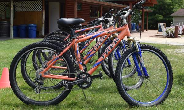
Hartwick Pines has some wonderful biking trails. There is a 3-mile loop (Aspen Loop), 5-mile loop (Deer Run Loop), and a 7.5-mile loop (Weary Legs). The trails are relatively flat with some hilly…
The Hanson Hills Recreation Area provides a mix of single track trails that travel through a variety of rolling hills which cover over 1,500 acres of recreational playground. Riders of all calibers…
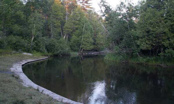
The Rayburn property on North Down River Road is a scenic trail open to the public, although is not a signed, state maintained trail. This combination of a 2-mile paved trail and two-track winds…
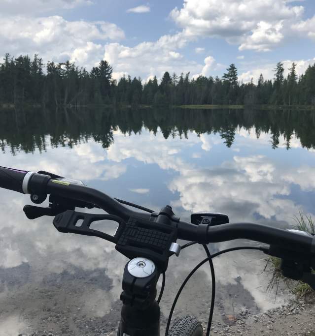
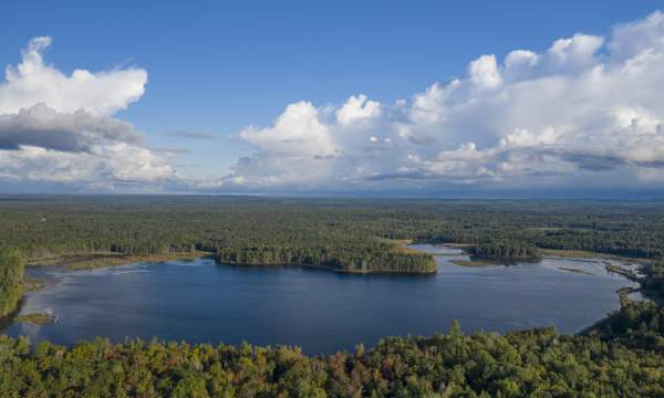
The Wakeley Lake non-motorized area consists of 3 loops, 4 1/2, 5 and 7 miles in length. The terrain is well suited for the novice/intermediate with 0% steep, 25% hilly, 55% moderate and 20% flat…
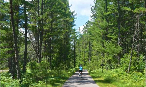
The Grayling Bicycle Turnpike is a wide paved path, separate from roads, stretching from Grayling north to Hartwick Pines State Park, west to Hanson Hills Recreation Area, and south to Kirtland…